A winter storm warning is currently in effect for the Sierra Nevada, where significant snowfall is expected to create hazardous travel conditions. The National Weather Service (NWS) has alerted residents and travelers to the potential for up to 2 feet of snow at the highest peaks and additional accumulations of 12 to 18 inches above 4500 feet.
The warning, which is set to last until 11 PM local time on April 12, comes after the UC Berkeley Central Sierra Snow Lab reported nearly eight inches of snow on April 11. This late-season storm underscores the Sierra Nevada’s reputation for dramatic weather swings, even in the spring months.
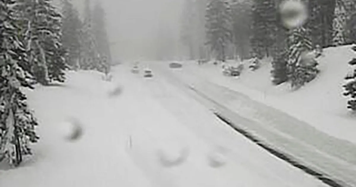
Wind gusts are forecasted to reach as high as 45 mph, further complicating travel and outdoor activities. Officials have warned that whiteout conditions are likely, with visibility potentially dropping below a quarter mile, making travel treacherous and potentially life-threatening.
Travel is highly discouraged due to slick road conditions, and those who must travel are advised to delay their trips if possible and to exercise extreme caution. The NWS had initially issued a winter storm watch for the region on April 10, which was upgraded to a warning as the storm’s intensity became clearer.
As the storm continues to impact the region into Sunday evening, forecasters predict that snow accumulations could reach up to 14 inches in some areas, particularly at elevations above 6000 feet, where totals could range from 2 to 5 feet. The situation remains fluid, and details remain unconfirmed as the storm progresses.